
Public sample report
Planning-use sampleSample Preliminary Obstacle Evaluation Report
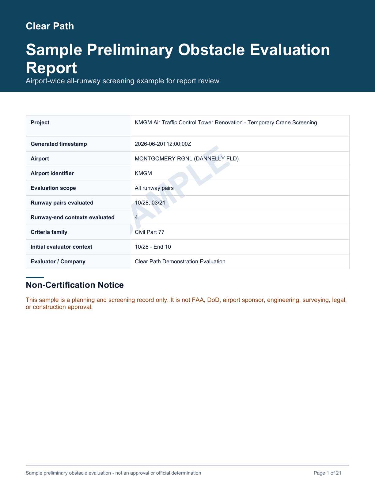
A downloadable Clear Path report for a temporary crane screening at KMGM / Montgomery Regional (Dannelly Field). The sample uses the production all-runway report flow so each evaluated runway-end context appears in the PDF.
Planning-use limitations
Understand the sample before relying on it
SAMPLE / NOT FOR OPERATIONAL USE. This public example is a reproducible preliminary screening report. It is not FAA, DoD, airport sponsor, engineering, surveying, legal, or construction approval.
References to FAA, DoD, UFC, Part 77, airport criteria, or source documents identify evaluation inputs only. They do not imply endorsement, sponsorship, authorization, or official status by any agency, command, military unit, airport sponsor, or airport authority.
What the sample shows
- All-runway aggregate reporting with one section for every evaluated runway-end context.
- KMGM runway geometry, object coordinates, object elevation, and Part 77 criteria source traceability.
- Plan-view and 3D engineering graphics generated from the same report data used by the evaluator.
- Calculation rows showing allowable elevation, object top elevation, clearance, and penetration.
- Known limitations and non-certification language that should remain attached when a report is shared.
PDF preview
Representative report pages
Select any page to inspect it at a larger size. The downloadable PDF contains all runway sections, source references, limitations, and non-certification text.
Support and interpretation
For questions about report structure or workflow, contact support@airspaceevaluator.com. Include the PDF, generated timestamp, airport, runway context, object coordinates, app version v0.1.2, and criteria profile. Clear Path support can explain workflow and report structure, but does not issue approvals, certifications, or official determinations.